 |
||||||||||
Exploring Bond Fallsin the Western Upper
Peninsula of Michigan |
||||||||||
 |
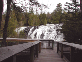 |
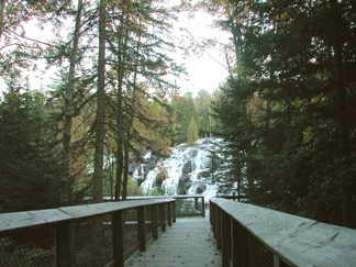
There is also roadside parking at the top of the falls where you will find a little park, picnic tables, grills, and a little store that sells snacks and ice cream.
The old trail with some steep rocky climbs on the east side of the falls is still accessible for hikers and there are other trails through the woods.
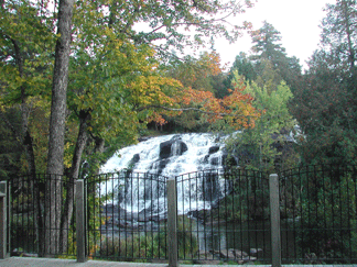
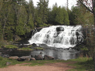
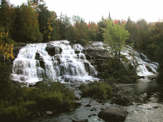
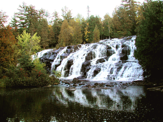
The steady flow of water over Bond Falls is controlled by a hydroelectric dam operated by the Upper Peninsula Power Company. The flowage above the dam is a delight for anglers of all ages and a favorite fishing spot for trout.
 |
 |
Directions: Tale US-45 north of Watersmeet for 10 miles and turn east on Bond Falls Road in Paulding. Go 3.5 miles and you will arrive at the top of Bond Falls.
From M-28. just east of Bruce Crossing take Calderwood Road south to Bond Falls Road West. Follow the signs to the parking lot and the boardwalk to the viewing platforms.


Exploring
Watersmeet Michigan
Exploring
Ontonagon Michigan
Upper Peninsula
Recreation & Attractions
Upper Peninsula Traveler
Home Page
Photos by Mary
Copyright 2008 by Char Simons, webmaster. All Rights Reserved. Except as permitted under the Copyright Act of 1976, as amended, this web site may not be reproduced in whole or in part in any manner. Unless authorized by the webmaster, reproduction of any picture, web page or pages on this website, www.exploringthenorth.com, for placement on the internet is a copyright infringement. All right, title and interest in and to the material on these web pages, the web site, in whole or in part, and in and to this url and the urls contained within, is the property of the webmaster. All website design, text, graphics, selection and arrangement thereof are the copyrighted works of Char Simons. Web site created on an Apple G-4